
Reveal Your Crop's Potential with Advanced Imaging Techniques
Enhance your decision-making with comprehensive drone-assisted crop monitoring, from capture to prescription.
Upload Your Data
Upload RGB or multispectral imagery from any drone or camera. We recommend the DJI Mavic 3 Multispectral with RTK for best results.
Formats
Sensors
How it works
Gather Data
Capture imagery at your convenience using any drone or camera, and upload it to PCS. We process data from a wide variety of sensors, both RGB and multispectral.
Build the Orthomosaic
Every flight starts a free extra-fast preview so you see your whole field within minutes. The survey-grade orthomosaic costs €1 flat with contributor pricing, and multispectral flights add a reflectance-calibrated band map with NDVI and NDRE vigor layers.
Explore on the Map
View every result on an interactive map over satellite imagery from around your flight date. Measure distances and areas, check the elevation model, and share a read-only map link with anyone.
Our Features
One focused workflow for agriculture and forestry alike: upload a flight, get your orthomosaic, explore it on the map.
Survey-Grade Orthomosaics
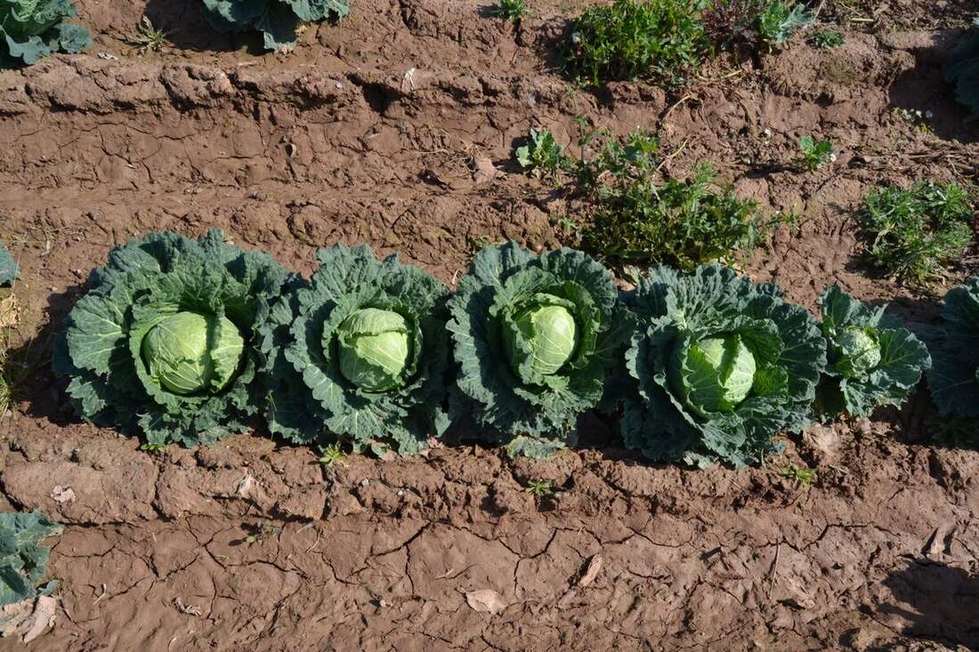
Hundreds of overlapping drone photos become one seamless, georeferenced map of your field. Every upload includes a free extra-fast preview; the full-quality orthomosaic is processed with photogrammetry-grade settings and delivered as a lossless GeoTIFF you can load into any GIS.
Multispectral Maps with NDVI & NDRE
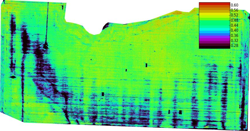
Fly a multispectral sensor and we align and calibrate the bands into a reflectance map, then derive NDVI and NDRE vigor layers so you can spot trouble areas across the field. GIS-ready index rasters and the standard RGB orthomosaic are included with the deliverable.
An Interactive Field Viewer
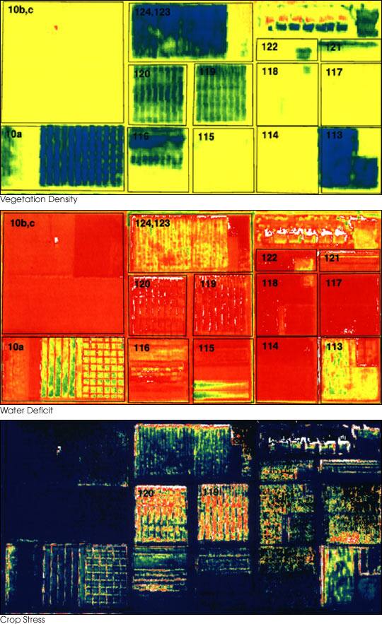
Every orthomosaic opens on an interactive map over satellite context from around mission time. Measure distances and areas, inspect the elevation model, and hand your clients a read-only share link — no account needed on their side.
Export Your Results
Full-resolution georeferenced orthomosaics for your GIS, a processing report, and read-only map links for your clients.
Pricing
€1 per orthomosaic
Buy credits, spend them on processing — one credit per orthomosaic with contributor pricing (share your flight to train our models, revocable anytime), two without. Free extra-fast preview with every flight, no subscription required. Keeping your missions online is billed monthly per GB: €10/TB for contributors, €20/TB at full price. Prices exclude VAT (21 % IVA for businesses in Spain).